What is Vicmap Property? Victoria's cadastral data explained
On this page
Vicmap is a government DATA product, not a map viewer - a distinction worth making because MapshareVic, VicPlan, and MapMyLot are all viewers that display Vicmap data on top of their own interface, and none of them is Vicmap itself. Vicmap Property specifically is the cadastral layer: the digital record of Victoria's land parcel boundaries, released by the Department of Transport and Planning under a Creative Commons Attribution 4.0 (CC BY 4.0) licence via Data.Vic. MapMyLot's own Victorian boundaries are built from this same dataset.
See Vicmap Property boundaries on MapMyLot - free, no account needed
Check an address freeFive free address lookups a day, no account needed. Additional readouts depend on local data coverage.
Vicmap Property vs the other Vicmap products
Vicmap is a family of datasets, not a single product - Vicmap Property (parcels and property boundaries), Vicmap Planning (zones and overlays, the layer behind VicPlan), Vicmap Address, Vicmap Transport, and several others each cover a different theme. Vicmap Property is the one that defines a lot's boundary, area, and adjoining parcels - the layer this guide, and MapMyLot's boundary search, are about.
How to view Vicmap Property for free
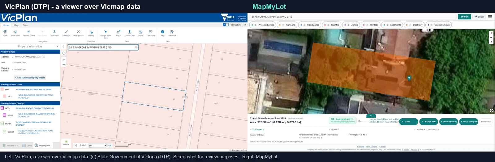
Three free ways to see Vicmap Property for a specific address: MapshareVic (a general property and land-feature viewer, see the MapshareVic guide), VicPlan (the planning-focused viewer over Vicmap Planning and Vicmap Property together, published by the Department of Transport and Planning), or a plain address search on MapMyLot, which resolves straight to the boundary, area, and perimeter with no map navigation.
How to download Vicmap Property data
For GIS use - a council, a consultancy, or anyone who needs the raw parcel geometry rather than a single-address lookup - Vicmap Property is downloadable from Data.Vic under the CC BY 4.0 licence, which permits sharing, redistributing, and building on the data for any purpose, including commercially, with attribution.
Accuracy and what it means for fences and setbacks
The current Vicmap Property product page describes spatial accuracy ranging from 0.1 to 25 metres. Accuracy depends on the location and dataset quality; the viewing zoom level does not determine it. Use the map for parcel context and a registered surveyor for a boundary, fence position or setback that needs legal precision.
What MapMyLot adds on top of the raw cadastre
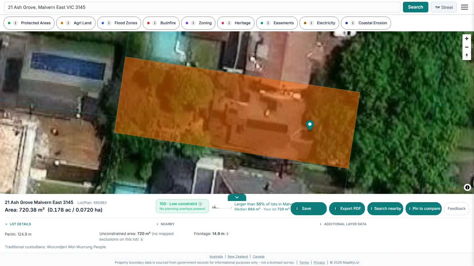
Vicmap Property gives you the parcel polygons; a viewer shows them. MapMyLot starts from that same cadastre and layers the interpretation on: a free address search returns the boundary with area, perimeter, frontage and lot/plan, a lot-size benchmark against the suburb, a 0-100 constraint score with the unconstrained area calculated, measured distances to powerlines, parks, the coast and waterways, and the free Protected Areas and agricultural land classification layers.
MapMyLot Pro adds seven more layers on the same map: Zoning (the planning zone applying to the lot), Heritage (mapped listings; local overlays need a separate check), Easements (registered easements crossing the parcel), Flood Zones, Bushfire, Electricity (transmission lines and easements) and Coastal Erosion. Hazard layers are reported as present or absent rather than averaged into a reassuring rating.
Free to check, Pro for unlimited
Five address lookups a day are free on MapMyLot, no account required. MapMyLot Pro, at A$19.99 a month, removes the daily limit and adds unlimited PDF boundary reports. A single PDF report is also available for A$4.99 without a subscription.
Related checks
See the MapshareVic guide and LASSI map guide for the two main government viewers over this data, or how to find a Victorian property boundary on MapMyLot. For the fundamentals in any state, start with how to find property boundaries.
See Vicmap Property boundaries on MapMyLot - free, no account needed
Check an address freeFive free address lookups a day, no account needed. Additional readouts depend on local data coverage.